Data & Tools
Five decades of environmental data - our most irreplaceable asset
The Ewaso Ng'iro Dataset
Since 1976, we have monitored the Ewaso Ng'iro North basin continuously. River flows, rainfall, temperature, evaporation, wind, radiation, humidity. Real-time transmission via LoRa network. One of the longest unbroken environmental datasets in Africa.
Our Databases
Hydrometeorological Database
50 years of continuous river flow, rainfall, temperature, evaporation, wind, radiation, and humidity data. Real-time transmission via LoRa network from 17 monitoring stations.
GIS Database
Comprehensive geospatial data covering 13+ counties: land use, vegetation, soil, topography, infrastructure, and administrative boundaries.
GeoNetCast Station
Ground station receiving multi-satellite data in real time: FENYUN meteorological, JASON altimetry, MSG rapid scanning (5-minute intervals), NOAA AVHRR, and VGT4Africa vegetation indices (NDVI). Satellite precipitation nowcasting at 15-minute intervals.
Cartographic Archive
Historical and contemporary maps, spatial plans, and thematic cartography spanning five decades of land use change documentation.
Online Platforms
WLRC - Water & Land Resource Centre
Online platform for accessing water and land resource data, monitoring dashboards, and research outputs from the Ewaso Ng'iro basin.
Visit platform →Kenya Atlas
Interactive geospatial data platform for visualizing natural resources, land use, and socioeconomic indicators across Kenya.
Visit platform →EWS - Early Warning System
Real-time environmental early warning system providing flood risk alerts, drought monitoring, and weather forecasts for the Ewaso Ng'iro basin.
Visit platform →GIS & Spatial Analysis
Mapping, analysis, and custom platforms
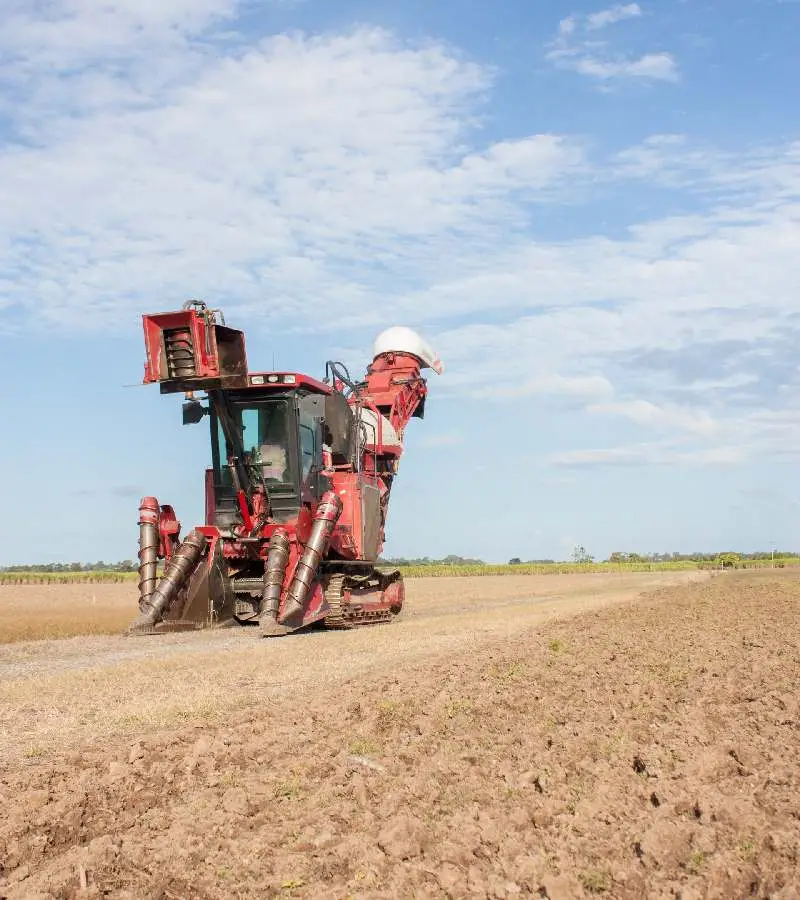
CETRAD's GIS and remote sensing unit delivers land use mapping, environmental baselines, drone surveys, mobile data collection, and custom geoportals - for research programmes, county governments, and development partners.
Data Access
Our data supports research, policy, and project design. Contact us to discuss data access for your project.
Explore Partnership