Our Impact
Evidence of what changes when knowledge meets action
How we work
Fifty years on one territory. Three routes to action.
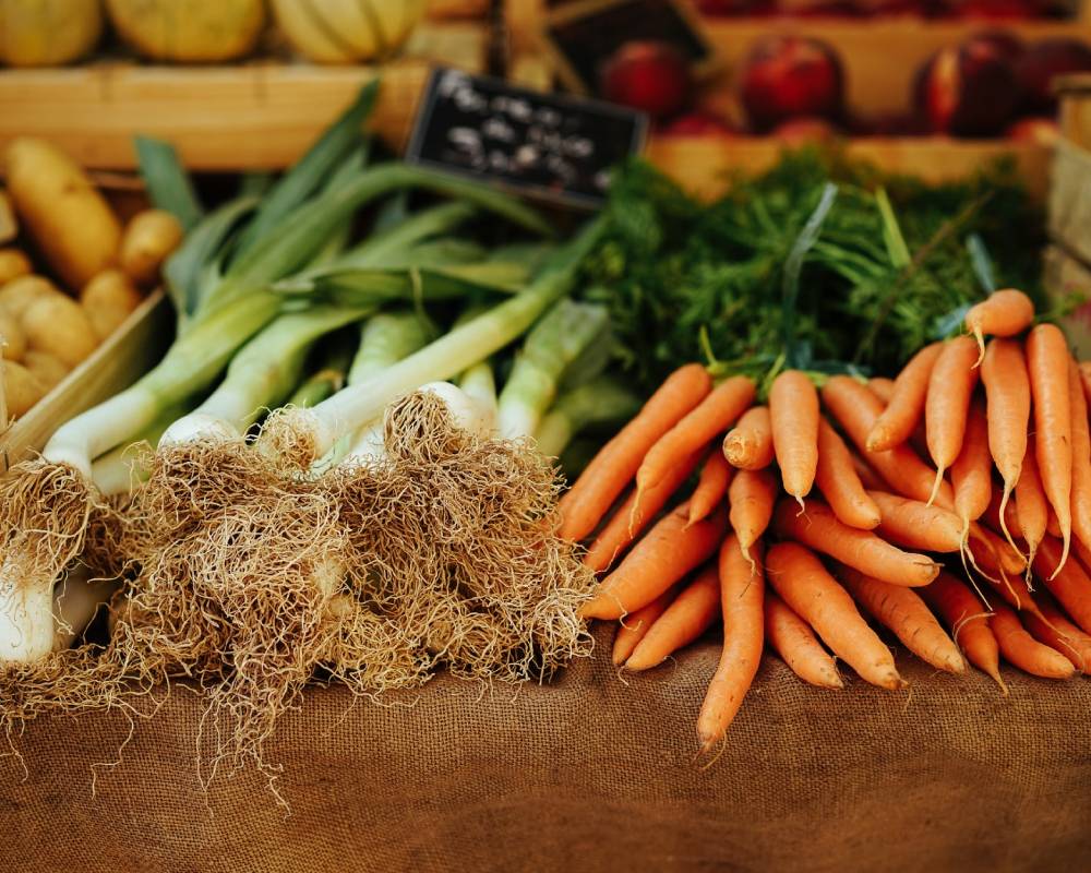
Since 1976, CETRAD has built a foundation of presence, measurement, and relationships in the Ewaso Ng'iro north basin. Everything below is what that foundation produces - through the people we train, the processes we advise, and the territory we work.
Route 01
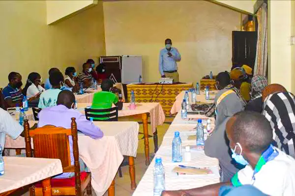
Through people we train
Officers and practitioners take CETRAD methods back to county governments, ministries, and communities - where they keep working long after the project closes.
Route 02
Through processes we advise
We supply evidence and framing to planning processes, environmental assessments, and policy dialogues - turning data into decisions.
Route 03
Through territory we work
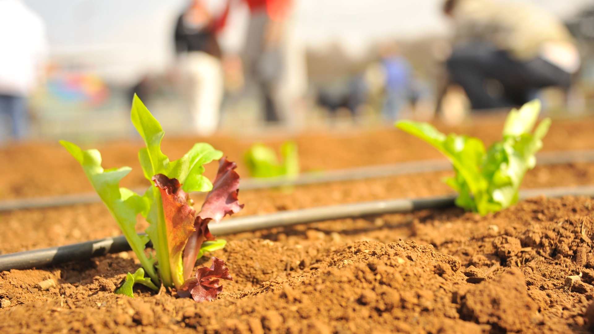
We restore wetlands, revive springs, and build community stewardship structures directly on the land we have monitored for five decades.
of continuous data
GIS units deployed
trees planted
officers trained
Wyss Academy for Nature
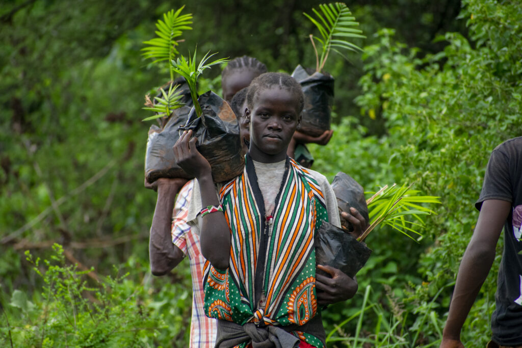
Gambella Wetland Restoration
Restoring a critical wetland ecosystem in the Ewaso Ng'iro basin through community-led tree planting and springs stewardship.
- 6,000+ native trees planted across 3 phases
- 2 dried springs revived after restoration
- Wetland officially handed over to community (Aug 2025)
Wyss Academy for Nature
Wildlife Corridors Programme
Mapping and securing wildlife movement corridors between Mt Kenya, Aberdares, and northern rangelands using GIS and stakeholder engagement.
- 4 wildlife corridors secured
- Elephant migration routes mapped (Lewa-Borana)
- Multi-stakeholder governance framework
IFAD / KCEP-CRAL
GIS Capacity Building for Counties
Training county government officers in smartphone-based data collection and GIS analysis across 8 counties in Kenya.
- 73 officers trained in GIS/remote sensing
- 221 officers trained in smartphone data collection
- 17 GIS units installed across 8 counties
Various
Springs Stewardship Programme
Mapping, protecting, and restoring natural springs across Laikipia and surrounding counties through community-based governance.
- Springs inventory and mapping completed
- Community protection zones established
- Water quality monitoring protocols
Stockholm Environment Institute
Water-Energy-Food Nexus - Ewaso Ng'iro
Integrated analysis of water, energy, and food system interactions in the upper Ewaso Ng'iro basin to inform policy and resource allocation.
- Nexus assessment framework developed
- Policy briefs for county governments
- Cross-sectoral stakeholder platform
CETRAD Research
AfgroLand - Agro-Food-Land Nexus
Interdisciplinary research on how global economic trends reshape African land use, farming systems, and food security - from large-scale horticulture to smallholder adaptation.
- 116 large-scale farms documented
- Conservation agriculture impact assessed
- Policy recommendations for county land use
CETRAD / Lewa Conservancy
Hydromet Monitoring - Lewa-Borana Landscape
Expanding the hydrometeorological monitoring network into the Lewa-Borana landscape with automatic stations at Ngare Ndare and Sirikoi for water and climate monitoring.
- Automatic weather stations installed
- Real-time data via LoRa network
- Lewa-Borana collaboration platform
The Nature Conservancy
End-User Water Metering - Isiolo
Installing water meters for end users in Isiolo WRUA to strengthen water governance, promote equitable access, and reduce water-related conflicts.
- Water meters installed for end users
- Equitable water access promoted
- Water conflict reduction
Wyss Academy for Nature
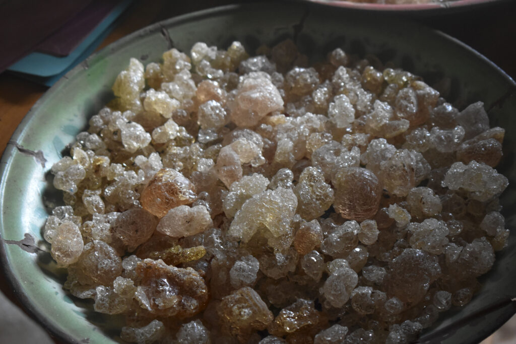
Gums & Resins - Turning Trees into Livelihoods
In Isiolo and Samburu Counties, communities now earn up to half their household income from gum arabic, myrrh, and frankincense - trees they once cut for charcoal.
- 90+ community members trained (women and youth included)
- Up to 50% of household income from gums and resins
- Shift from charcoal to sustainable tree harvesting
The Nature Conservancy
CHEF - Central Highlands Ecoregion Foodscapes
Co-leading with The Nature Conservancy to help farmers in Kenya's Central Highlands adopt regenerative agriculture that protects water towers while improving yields.
- Rangeland management and rotational grazing introduced
- WRUAs trained in water governance
- Foodscape Innovation Hub established
CABI / CETRAD
Woody Weeds+ Prosopis Management
Managing invasive Prosopis juliflora (Mathenge) in Isiolo County - a species that consumes 36 litres of water per tree daily - through community engagement, river clearing, and county-level management plans.
- 5 km of Isiolo River cleared, 50 m buffer both banks
- Isiolo Prosopis Management Plan integrated into county plan
- County Implementation Group coordinating across Isiolo
Research Output
70+ publications spanning five decades
From the foundational Laikipia Reports to recent WEF Nexus research, explore our full publication archive.
Browse Publications